GeoNet NZ Quakes
The GeoNet NZ Quakes integrationIntegrations connect and integrate Home Assistant with your devices, services, and more. [Learn more] lets you use a GeoJSON feed provided by New Zealand’s GeoNet with information about quakes in the New Zealand region that happened within the last 7 days. It retrieves incidents from a feed and shows information of those incidents filtered by distance to Home Assistant’s location.
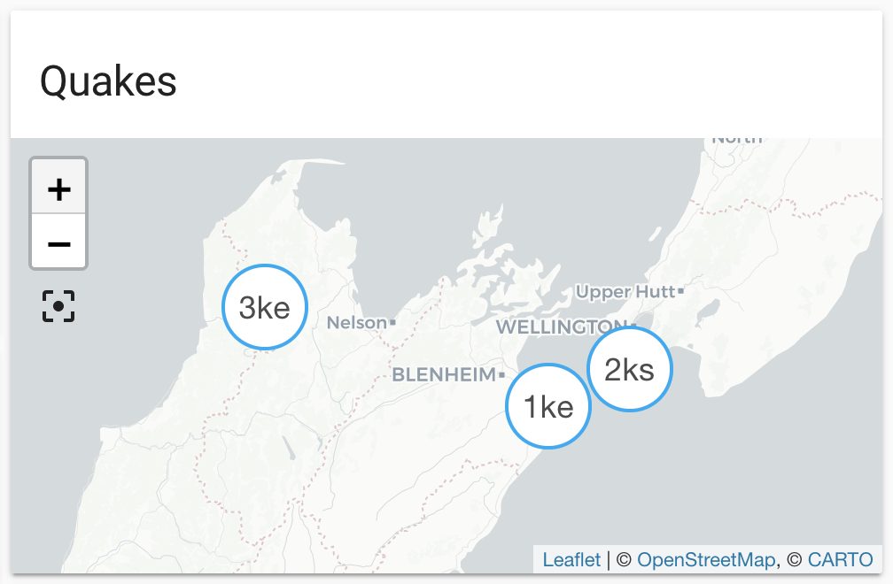
Entities are generated, updated and removed automatically with each update
from the feed. Each entity defines latitude and longitude and will be shown
on the default map automatically, or on a map card by defining the source
geonetnz_quakes. The distance is available as the state of each entity, and
converted to the unit (kilometers or miles) configured in Home Assistant.
The data is updated every 5 minutes.
The material used by this integration is provided under the Creative Commons Attribution 3.0 New Zealand (CC BY 3.0 NZ) license. It has only been modified for the purpose of presenting the material in Home Assistant. Please refer to the creator’s disclaimer notice and data policy for more information.
We acknowledge the New Zealand GeoNet project and its sponsors EQC, GNS Science and LINZ, for providing data/images used in this integration.
Configuration
To add the GeoNet NZ Quakes service to your Home Assistant instance, use this My button:

If the above My button doesn’t work, you can also perform the following steps manually:
-
Browse to your Home Assistant instance.
-
In the bottom right corner, select the
Add Integration button. -
From the list, select GeoNet NZ Quakes.
-
Follow the instructions on screen to complete the setup.
State attributes
The following state attributes are available for each entity in addition to the standard ones:
| Attribute | Description |
|---|---|
| latitude | Latitude of the quake. |
| longitude | Longitude of the quake. |
| source |
geonetnz_quakes to be used in conjunction with geo_location automation trigger. |
| external_id | The external ID used in the feed to identify the quake in the feed. |
| title | Title of this entry. |
| mmi | The calculated MMI shaking at the closest locality in the New Zealand region. |
| magnitude | The summary magnitude for the quake. |
| depth | The depth of the quake in km. |
| time | The origin date and time of the quake. |
| locality | Distance and direction to the nearest locality. |
| quality | The quality of this information: best, good, caution, deleted. |
The reported MMI may be lower than the minimum requested MMI. This integration is passing the requested MMI value to the feed source and displays all entries retrieved without further filtering by MMI.
Sensor
This integration automatically creates a sensor that shows how many entities are currently managed by this integration. In addition to that the sensor has some useful attributes that indicate the currentness of the data retrieved from the feed.

| Attribute | Description |
|---|---|
| status | Status of last update from the feed (“OK” or “ERROR”). |
| last update | Timestamp of the last update from the feed. |
| last update successful | Timestamp of the last successful update from the feed. |
| last timestamp | Timestamp of the latest entry from the feed. |
| created | Number of entities that were created during last update (optional). |
| updated | Number of entities that were updated during last update (optional). |
| removed | Number of entities that were removed during last update (optional). |
Full configuration
# Example configuration.yaml entry
geonetnz_quakes:
  radius: 100
  mmi: 4
  minimum_magnitude: 4.5
  latitude: -41.2
  longitude: 174.7