GeoNet NZ Volcano
The GeoNet NZ Volcano integrationIntegrations connect and integrate Home Assistant with your devices, services, and more. [Learn more] lets you use a GeoJSON feed provided by New Zealand’s GeoNet with information about volcanoes in the New Zealand region. It shows information of those volcanoes filtered by distance to Home Assistant’s location.
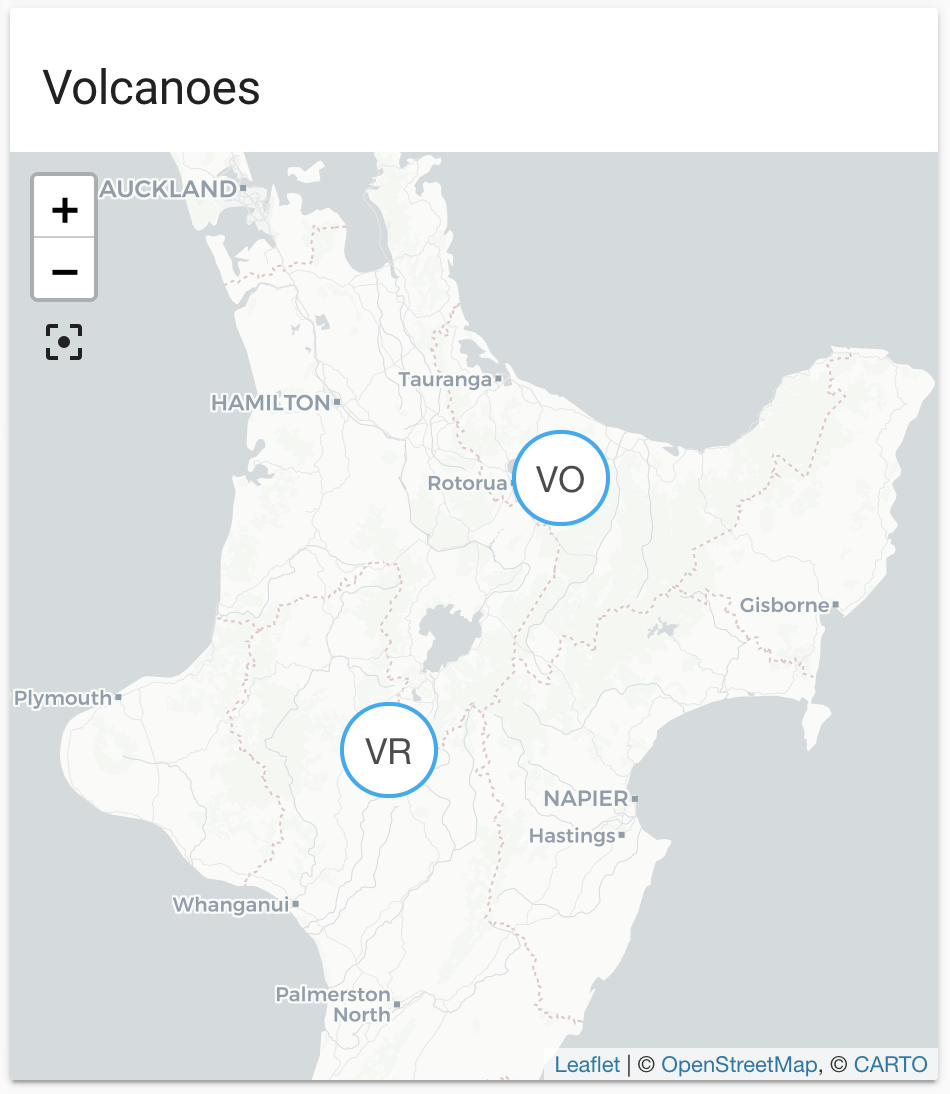
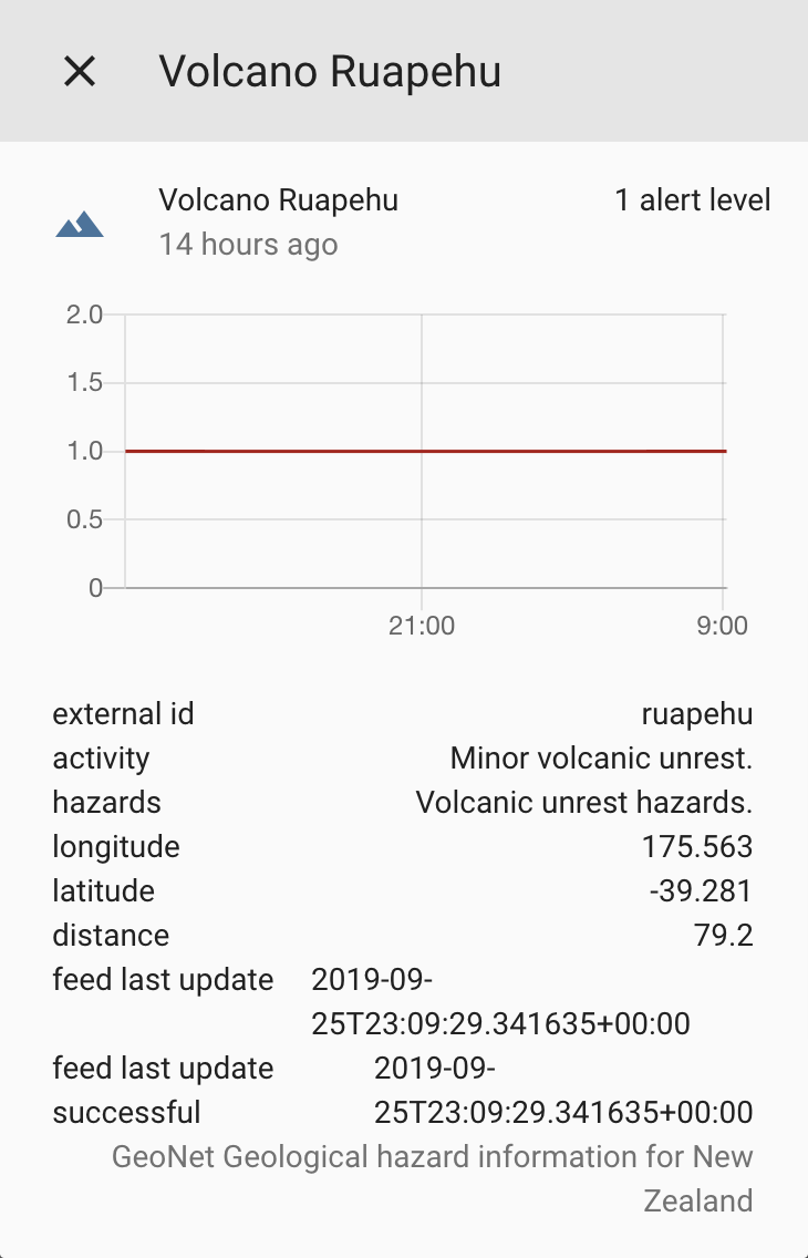
Entities are generated and updated automatically with each update from the feed. Each entity defines the volcanic alert level as its state. Latitude and longitude of the volcano are included as attributes to show on the default map automatically.
The data is updated every 5 minutes.
The material used by this integration is provided under the Creative Commons Attribution 3.0 New Zealand (CC BY 3.0 NZ) license. It has only been modified for the purpose of presenting the material in Home Assistant. Please refer to the creator’s disclaimer notice and data policy for more information.
We acknowledge the New Zealand GeoNet project and its sponsors EQC, GNS Science and LINZ, for providing data/images used in this integration.
Configuration
To add the GeoNet NZ Volcano service to your Home Assistant instance, use this My button:

If the above My button doesn’t work, you can also perform the following steps manually:
-
Browse to your Home Assistant instance.
-
In the bottom right corner, select the
Add Integration button. -
From the list, select GeoNet NZ Volcano.
-
Follow the instructions on screen to complete the setup.
State attributes
The following state attributes are available for each entity in addition to the standard ones:
| Attribute | Description |
|---|---|
| latitude | Latitude of the volcano. |
| longitude | Longitude of the volcano. |
| external_id | The external ID used in the feed to identify the volcano. |
| activity | Volcanic activity. |
| hazards | Most likely hazards. |
| distance | The distance in km or mi to Home Assistant’s location. |
| last update | Timestamp of the last update from the feed. |
| last update successful | Timestamp of the last successful update from the feed. |
Full configuration
# Example configuration.yaml entry
geonetnz_volcano:
  radius: 100
  latitude: -41.2
  longitude: 174.7